 Available on App Store
The home for every paragliding flight.
Log, replay, and reflect on your flights with a beautiful, private, local-first iOS logbook built for pilots who want to improve.
 Available on App Store
Log, replay, and reflect on your flights with a beautiful, private, local-first iOS logbook built for pilots who want to improve.
You already have a flight computer for the cockpit. Canopy is the app you open after you land.
When you are flying, you need real-time data: vario climb rates, airspace boundaries, navigation guidance, and wind velocity grids. You need high-contrast utility displays mounted on your cockpit.
Once you land and pack up, you need reflection. Canopy is your beautiful digital journal. Replay your track over 3D terrain, write down conditions, analyze your performance, rate landings, and see your long-term progression.
A native iOS experience built specifically to replace messy spreadsheets and clunky logging sites.
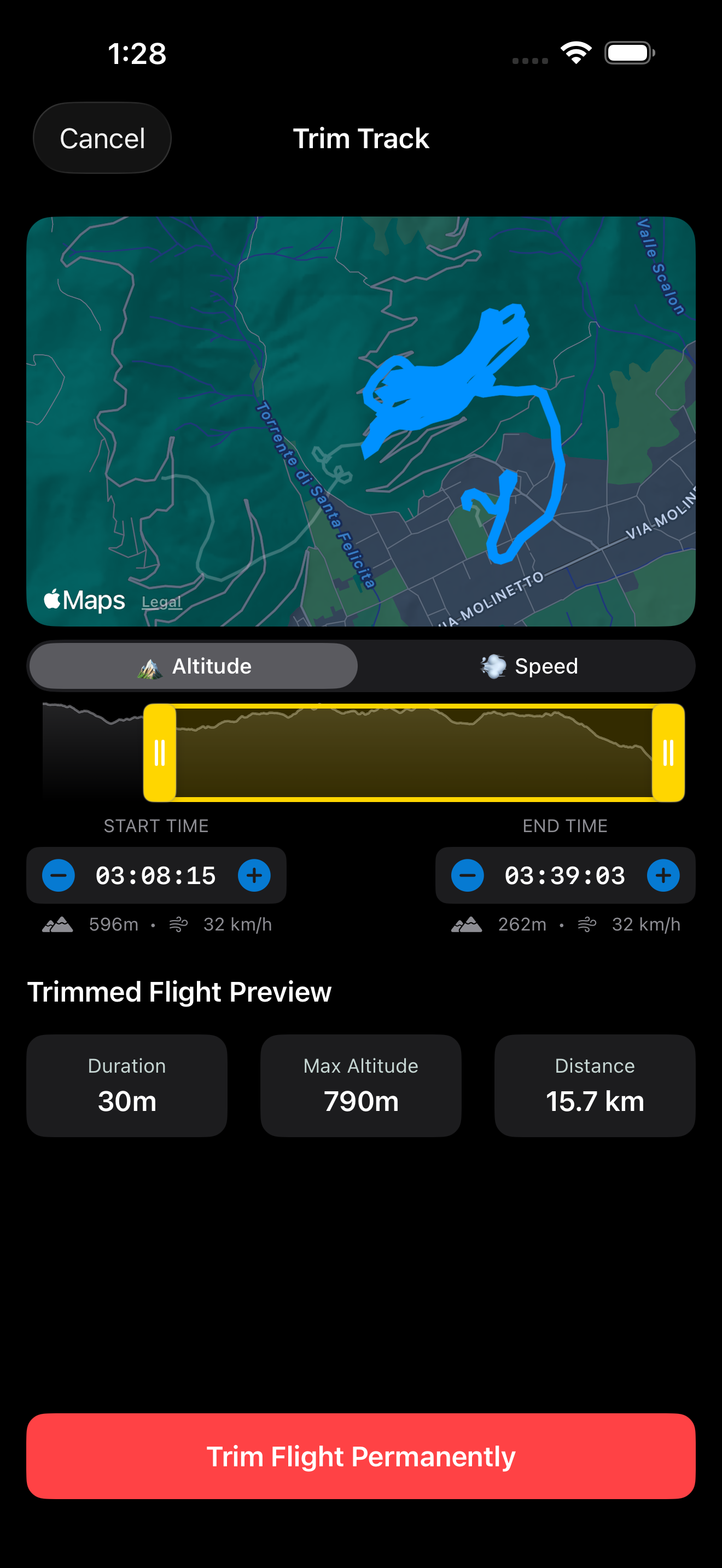
Effortlessly crop out dead GPS data from the beginning or end of a flight. Powered by a lightning-fast 120 FPS trimming engine. Use the altitude chart for precision trimming to seamlessly select the actual flight start and end in a simple, effortless workflow.
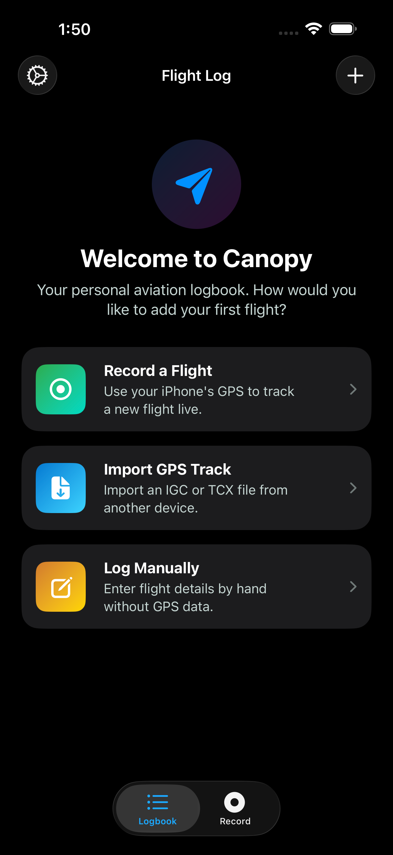
Canopy natively integrates with iOS file sharing. AirDrop or share flight files directly from your flight computer into Canopy with essentially zero friction. Fully supports standard .igc, .tcx, and .gpx track logs.
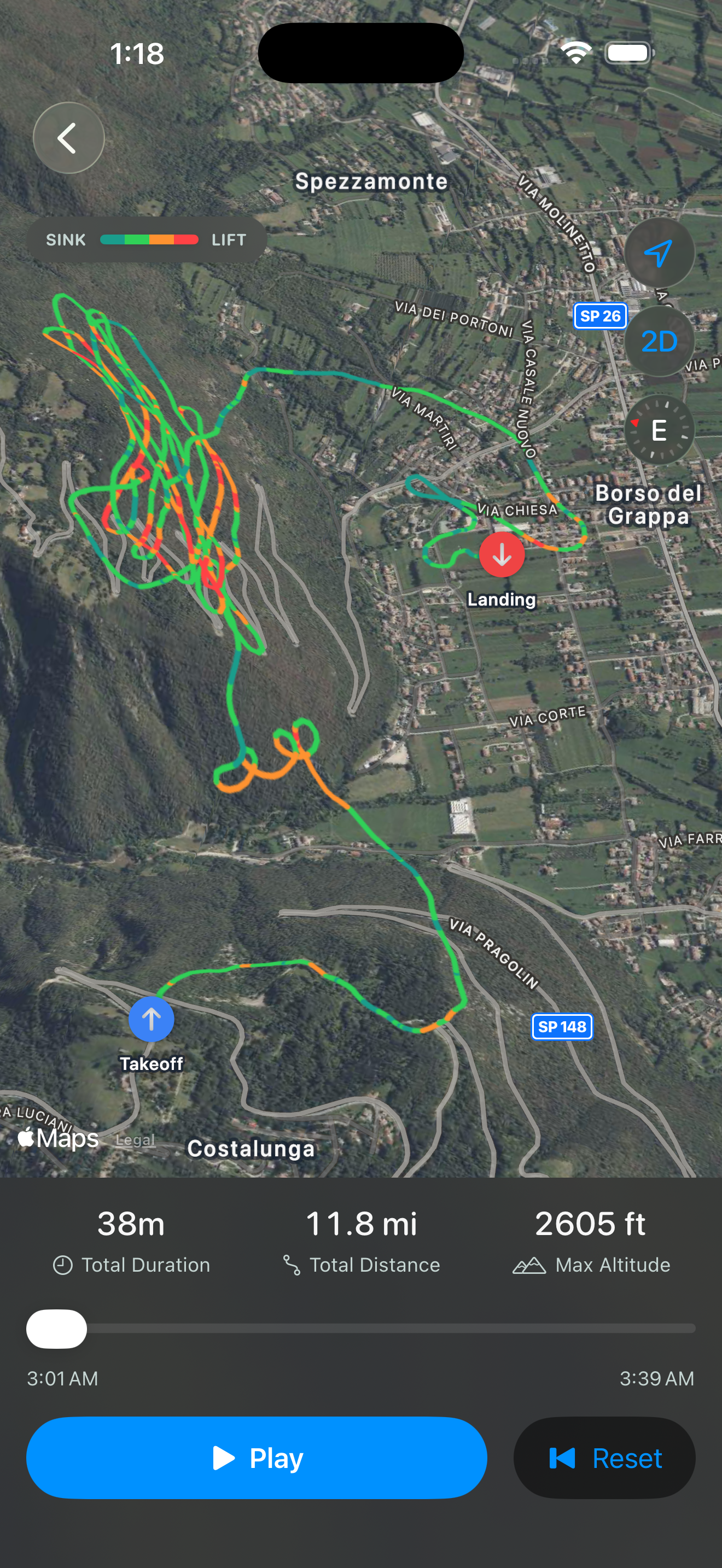
Canopy replays every flight over a real 3D terrain map in Apple Maps — a pitched, elevation-aware view of the actual mountains and valleys you flew, not a flat satellite image. Your track is color-coded by climb rate (strong lift, light lift, glide, sink) so you can see exactly where the air was working. Hit play and watch your position move along the track in real time, with a live readout of ground speed, altitude, sink rate, glide ratio, and distance as the flight unfolds — or drag the timeline to jump straight to any moment.
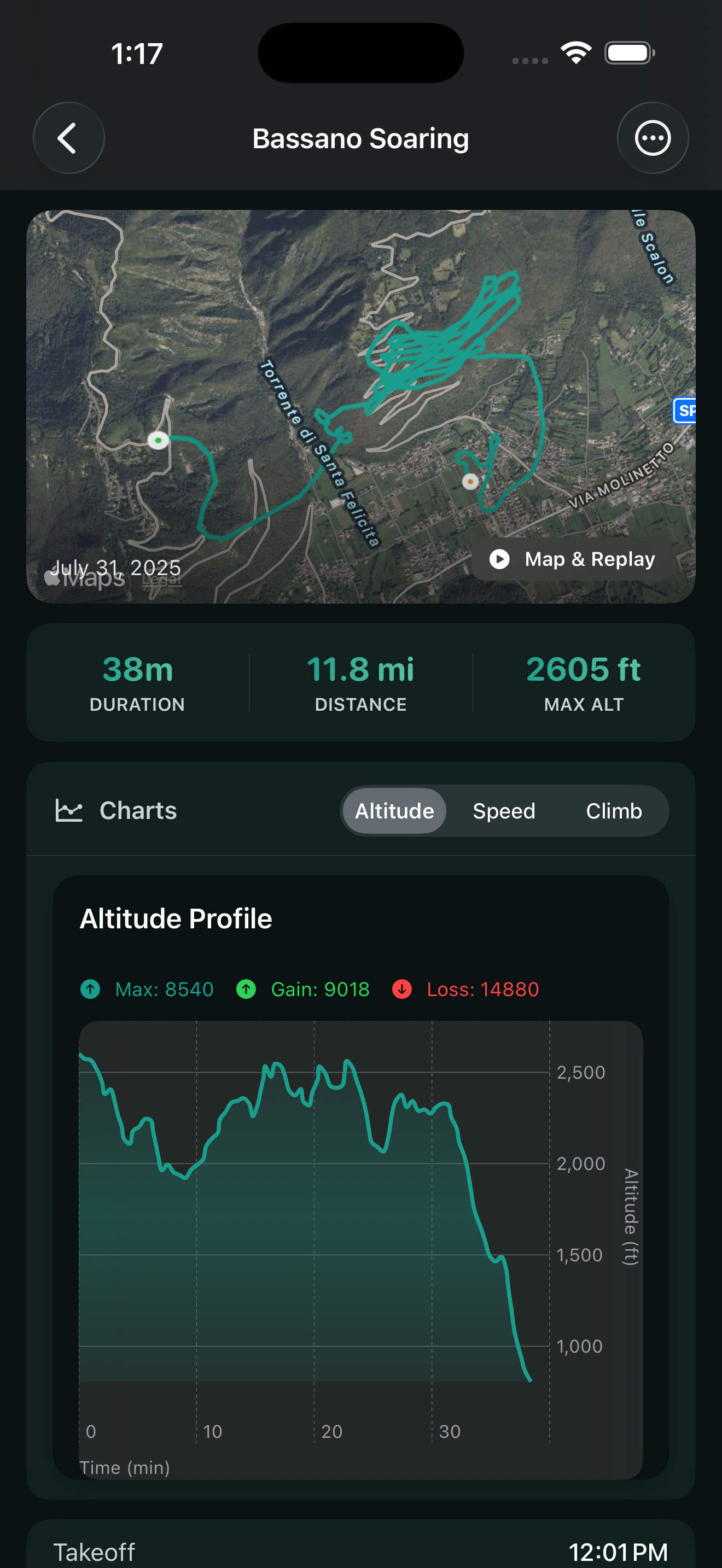
A logbook that goes where you go. Canopy is completely offline-first, private, and local-first. There is no account or cloud login required—you can use it on the mountain without an internet connection.
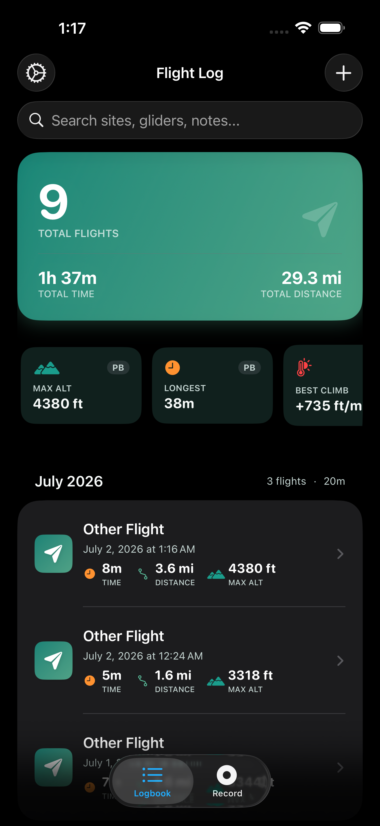
A comprehensive suite of tools built specifically for paraglider and hang-glider pilots.
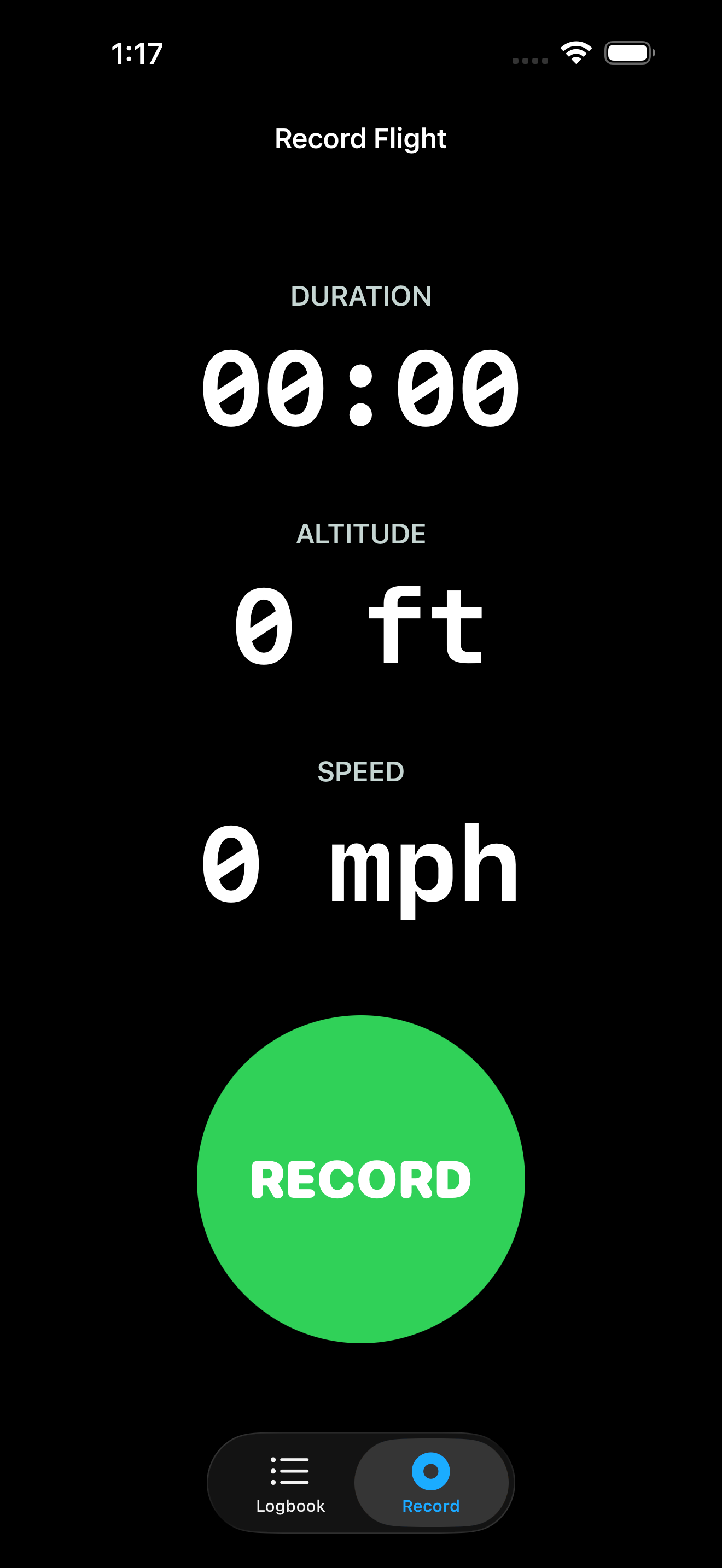
Record flights directly from your iPhone using built-in GPS and barometer for accurate altitude, speed, and duration.
Instantly view distance, max/avg altitude, climb/sink rates, glide ratio, and total ascent/descent for every flight.
Dive deep into your performance with detailed altitude, speed, and climb-rate charts mapped along your track.
Manage your wings, harnesses, and favorite takeoff/landing sites. Easily tag them to your recorded flights.
Export your full logbook as a CSV, share individual TCX flight tracks, or generate beautiful snapshot images.
Review flights over real 3D terrain using Apple Maps, with color-coded tracks and interactive timeline scrubbers.
Everything you need to know about setting up and using the Canopy app.
Join other paraglider and hang-glider pilots logging their flights offline-first. Download Canopy today.